A mapping application can use one or more content sources. Each content item corresponds to a service, such as an ArcGIS Server service. Each source contains one or more map layers. A map layer is a type of data shown on the map, such as roads, cities or a satellite image.
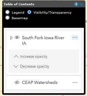
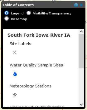
The Table of Contents allows for changing the visibility of layers, changing layer transparency, viewing the map legend, and changing the basemap.
If the mapping application allows it, you can view the list of the contents of the map, turn on and off layers, and examine the symbols for layers.
To examine the map contents:
The Map Legend will show what the symbology within each layer means.
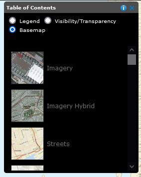
The Basemap is the layer underneath the watersheds. You have the ability to change this.